Sorrel Drive, Newport
Introduction
The photograph on this page of Sorrel Drive, Newport by Jaggery as part of the Geograph project.
The Geograph project started in 2005 with the aim of publishing, organising and preserving representative images for every square kilometre of Great Britain, Ireland and the Isle of Man.

There are currently over 7.5m images from over 14,400 individuals and you can help contribute to the project by visiting https://www.geograph.org.uk
Sorrel Drive, Newport
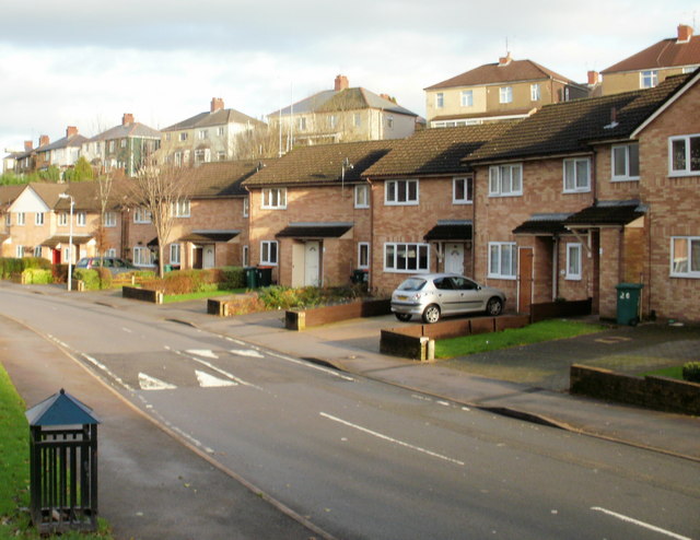
Image: © Jaggery Taken: 10 Dec 2009
Sorrel Drive is the principal road through Barrack Fields, a recent housing development in Allt-yr-yn. This view, of houses on the east side, is from near the Coltsfoot Close junction, looking towards the Comfrey Close junction. Behind the houses, about 30 metres away and at a higher elevation, are houses in Queen's Hill Crescent.
Images are licensed for reuse under creativecommons.org/licenses/by-sa/2.0
Image Location
Latitude
51.591944
Longitude
-3.004655