Fields Farm
Introduction
The photograph on this page of Fields Farm by Alan Murray-Rust as part of the Geograph project.
The Geograph project started in 2005 with the aim of publishing, organising and preserving representative images for every square kilometre of Great Britain, Ireland and the Isle of Man.

There are currently over 7.5m images from over 14,400 individuals and you can help contribute to the project by visiting https://www.geograph.org.uk
Fields Farm
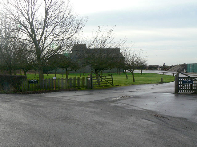
Image: © Alan Murray-Rust Taken: 8 Dec 2009
The access to the farm off Henson Lane at Saxton's Lings with grain storage buildings in the background.
Images are licensed for reuse under creativecommons.org/licenses/by-sa/2.0
Image Location
Latitude
52.942003
Longitude
-0.997895