North King Street, Belfast
Introduction
The photograph on this page of North King Street, Belfast by Albert Bridge as part of the Geograph project.
The Geograph project started in 2005 with the aim of publishing, organising and preserving representative images for every square kilometre of Great Britain, Ireland and the Isle of Man.

There are currently over 7.5m images from over 14,400 individuals and you can help contribute to the project by visiting https://www.geograph.org.uk
North King Street, Belfast
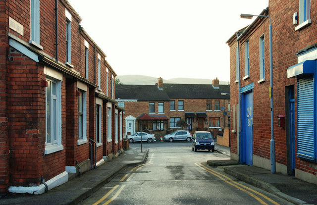
Image: © Albert Bridge Taken: 10 Dec 2009
North King Street runs from Gardiner Street Image to Brown Square Image (background). It retains its traditional terrace houses despite a major redevelopment of the surrounding area.
Images are licensed for reuse under creativecommons.org/licenses/by-sa/2.0
Image Location
Latitude
54.602476
Longitude
-5.93724