History at your feet [2]
Introduction
The photograph on this page of History at your feet [2] by Robin Drayton as part of the Geograph project.
The Geograph project started in 2005 with the aim of publishing, organising and preserving representative images for every square kilometre of Great Britain, Ireland and the Isle of Man.

There are currently over 7.5m images from over 14,400 individuals and you can help contribute to the project by visiting https://www.geograph.org.uk
History at your feet [2]
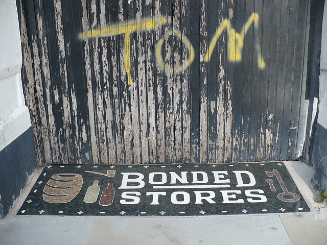
Image: © Robin Drayton Taken: 1 Oct 2008
The former use of some of the premises in Lower Dock Street http://www.geograph.org.uk/photo/1614301 is identified at pavement level.
Images are licensed for reuse under creativecommons.org/licenses/by-sa/2.0
Image Location
Latitude
51.58388
Longitude
-2.990765