Housing on the edge of Bishop's Cleeve
Introduction
The photograph on this page of Housing on the edge of Bishop's Cleeve by Philip Halling as part of the Geograph project.
The Geograph project started in 2005 with the aim of publishing, organising and preserving representative images for every square kilometre of Great Britain, Ireland and the Isle of Man.

There are currently over 7.5m images from over 14,400 individuals and you can help contribute to the project by visiting https://www.geograph.org.uk
Housing on the edge of Bishop's Cleeve
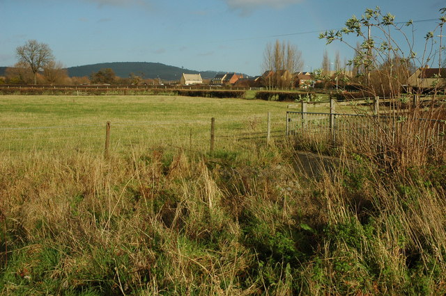
Image: © Philip Halling Taken: 6 Dec 2009
In twenty years or so the village of Bishop's Cleeve has grown enormously, the houses in this view are on the edge of the village adjoining the A435.
Images are licensed for reuse under creativecommons.org/licenses/by-sa/2.0
Image Location
Latitude
51.951372
Longitude
-2.068195