Salvation Army Hall, King Street
Introduction
The photograph on this page of Salvation Army Hall, King Street by Rob K Brettle as part of the Geograph project.
The Geograph project started in 2005 with the aim of publishing, organising and preserving representative images for every square kilometre of Great Britain, Ireland and the Isle of Man.

There are currently over 7.5m images from over 14,400 individuals and you can help contribute to the project by visiting https://www.geograph.org.uk
Salvation Army Hall, King Street
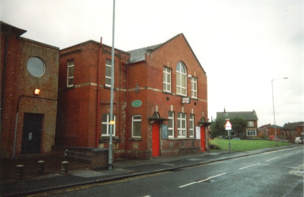
Image: © Rob K Brettle Taken: 1 Dec 2000
The former Salvation Army hall in King Street, Farnworth. Now demolished to make way for the Asda Supermarket.
Images are licensed for reuse under creativecommons.org/licenses/by-sa/2.0
Image Location
Latitude
53.547266
Longitude
-2.399898