Butler's Manor, Northall
Introduction
The photograph on this page of Butler's Manor, Northall by Stephen McKay as part of the Geograph project.
The Geograph project started in 2005 with the aim of publishing, organising and preserving representative images for every square kilometre of Great Britain, Ireland and the Isle of Man.

There are currently over 7.5m images from over 14,400 individuals and you can help contribute to the project by visiting https://www.geograph.org.uk
Butler's Manor, Northall
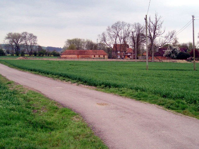
Image: © Stephen McKay Taken: 30 Apr 2006
These buildings are referred to on older maps as 'Butler's Farm', but now appear as 'Butler's Manor'. The name certainly goes back to antiquity; the first reference to a Philip le Bottiler holding the property dates back to 1302.
Images are licensed for reuse under creativecommons.org/licenses/by-sa/2.0
Image Location
Latitude
51.861455
Longitude
-0.617493