Borough Lane near Stone Farm
Introduction
The photograph on this page of Borough Lane near Stone Farm by Andrew Hill as part of the Geograph project.
The Geograph project started in 2005 with the aim of publishing, organising and preserving representative images for every square kilometre of Great Britain, Ireland and the Isle of Man.

There are currently over 7.5m images from over 14,400 individuals and you can help contribute to the project by visiting https://www.geograph.org.uk
Borough Lane near Stone Farm
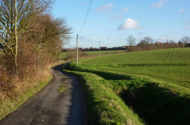
Image: © Andrew Hill Taken: 10 Dec 2009
Looking along the lane towards the B1115 - some houses along the main road can be seen in the distance.
Images are licensed for reuse under creativecommons.org/licenses/by-sa/2.0
Image Location
Latitude
52.171067
Longitude
0.933222