Deer Park Farm
Introduction
The photograph on this page of Deer Park Farm by Michael Dibb as part of the Geograph project.
The Geograph project started in 2005 with the aim of publishing, organising and preserving representative images for every square kilometre of Great Britain, Ireland and the Isle of Man.

There are currently over 7.5m images from over 14,400 individuals and you can help contribute to the project by visiting https://www.geograph.org.uk
Deer Park Farm
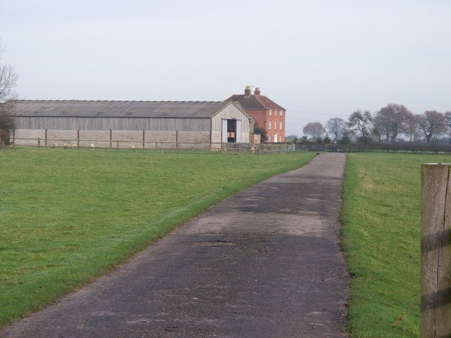
Image: © Michael Dibb Taken: 1 Dec 2009
Seen from the bridleway. Another bridleway once passed along the driveway and through the farmyard on its way to Bannerhill Farm but this has been diverted.
Images are licensed for reuse under creativecommons.org/licenses/by-sa/2.0
Image Location
Latitude
52.317132
Longitude
-1.616188