2009 : Frosty field seen from the A361
Introduction
The photograph on this page of 2009 : Frosty field seen from the A361 by Maurice Pullin as part of the Geograph project.
The Geograph project started in 2005 with the aim of publishing, organising and preserving representative images for every square kilometre of Great Britain, Ireland and the Isle of Man.

There are currently over 7.5m images from over 14,400 individuals and you can help contribute to the project by visiting https://www.geograph.org.uk
2009 : Frosty field seen from the A361
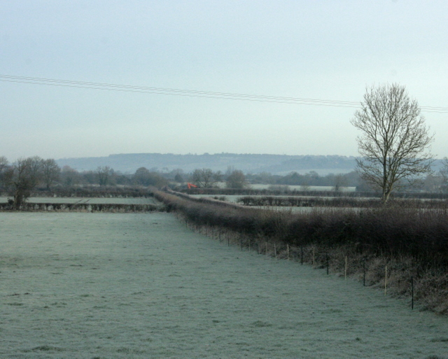
Image: © Maurice Pullin Taken: 1 Dec 2009
Looking north toward Bowerhill on the other side of the Kennet & Avon Canal. The lane to Seend Park Farm is on the other side of the hedge.
Images are licensed for reuse under creativecommons.org/licenses/by-sa/2.0
Image Location
Latitude
51.338484
Longitude
-2.123264