Coney Grey Spinney
Introduction
The photograph on this page of Coney Grey Spinney by Alan Murray-Rust as part of the Geograph project.
The Geograph project started in 2005 with the aim of publishing, organising and preserving representative images for every square kilometre of Great Britain, Ireland and the Isle of Man.

There are currently over 7.5m images from over 14,400 individuals and you can help contribute to the project by visiting https://www.geograph.org.uk
Coney Grey Spinney
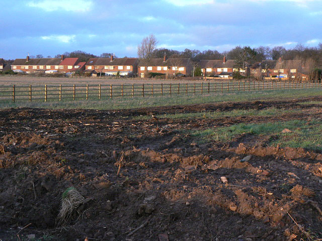
Image: © Alan Murray-Rust Taken: 6 Dec 2009
Post-war housing associated with the adjacent RAF Syerston. Now in private ownership. In the foreground the land that will be taken up by the widened A46.
Images are licensed for reuse under creativecommons.org/licenses/by-sa/2.0
Image Location
Latitude
53.011981
Longitude
-0.910272