Demolition, Noel Street, 1967
Introduction
The photograph on this page of Demolition, Noel Street, 1967 by John Sutton as part of the Geograph project.
The Geograph project started in 2005 with the aim of publishing, organising and preserving representative images for every square kilometre of Great Britain, Ireland and the Isle of Man.

There are currently over 7.5m images from over 14,400 individuals and you can help contribute to the project by visiting https://www.geograph.org.uk
Demolition, Noel Street, 1967
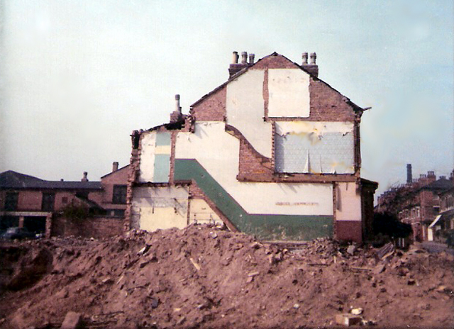
Image: © John Sutton Taken: 15 Apr 1967
The corner of Berridge Road, a little further up Noel Street, is on the right. See Image] for a 2009 view showing the houses which replaced the short-lived deck-access flats which replaced these late-Victorian houses.
Images are licensed for reuse under creativecommons.org/licenses/by-sa/2.0
Image Location
Latitude
52.968409
Longitude
-1.16986