Radinden Manor Road
Introduction
The photograph on this page of Radinden Manor Road by Simon Carey as part of the Geograph project.
The Geograph project started in 2005 with the aim of publishing, organising and preserving representative images for every square kilometre of Great Britain, Ireland and the Isle of Man.

There are currently over 7.5m images from over 14,400 individuals and you can help contribute to the project by visiting https://www.geograph.org.uk
Radinden Manor Road
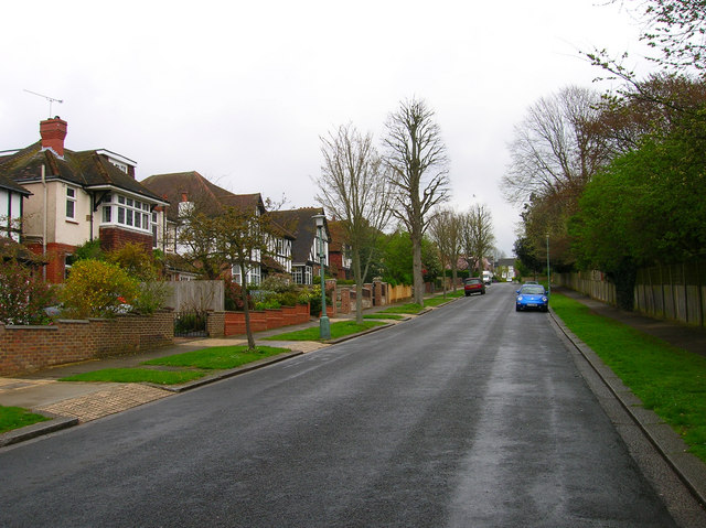
Image: © Simon Carey Taken: 30 Apr 2006
Mock tudor style houses built in the late 1920s in this leafy area of Hove. Cottesmore Primary School's playing field is to the right.
Images are licensed for reuse under creativecommons.org/licenses/by-sa/2.0
Image Location


Leaflet Map data © OpenStreetMap
Latitude
50.838126
Longitude
-0.160802