"Red Houses"
Introduction
The photograph on this page of "Red Houses" by John Winterbottom as part of the Geograph project.
The Geograph project started in 2005 with the aim of publishing, organising and preserving representative images for every square kilometre of Great Britain, Ireland and the Isle of Man.

There are currently over 7.5m images from over 14,400 individuals and you can help contribute to the project by visiting https://www.geograph.org.uk
"Red Houses"
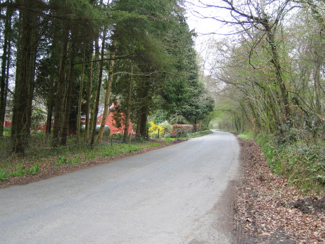
Image: © John Winterbottom Taken: 24 Apr 2006
Marked as "Red Houses" on the map, the owners perhaps feel obliged to oblige.
Images are licensed for reuse under creativecommons.org/licenses/by-sa/2.0
Image Location


Leaflet Map data © OpenStreetMap
Latitude
51.794127
Longitude
-4.90453