Looking down Bridge Street, Bideford
Introduction
The photograph on this page of Looking down Bridge Street, Bideford by Eirian Evans as part of the Geograph project.
The Geograph project started in 2005 with the aim of publishing, organising and preserving representative images for every square kilometre of Great Britain, Ireland and the Isle of Man.

There are currently over 7.5m images from over 14,400 individuals and you can help contribute to the project by visiting https://www.geograph.org.uk
Looking down Bridge Street, Bideford
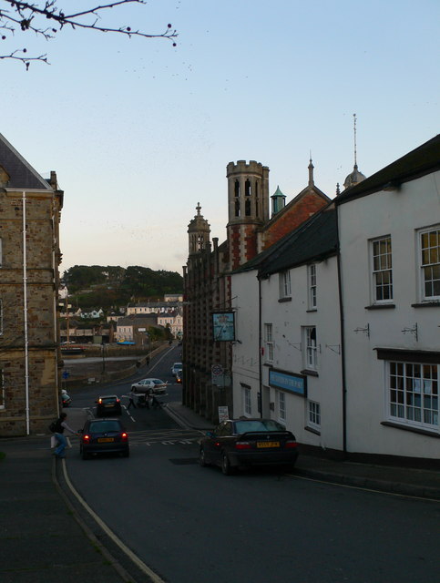
Image: © Eirian Evans Taken: 24 Nov 2009
Bideford Long Bridge is straight ahead and the Town Hall is the imposing building bottom right.
Images are licensed for reuse under creativecommons.org/licenses/by-sa/2.0
Image Location


Leaflet Map data © OpenStreetMap
Latitude
51.016776
Longitude
-4.205024