Henson Lane, Saxondale
Introduction
The photograph on this page of Henson Lane, Saxondale by Alan Murray-Rust as part of the Geograph project.
The Geograph project started in 2005 with the aim of publishing, organising and preserving representative images for every square kilometre of Great Britain, Ireland and the Isle of Man.

There are currently over 7.5m images from over 14,400 individuals and you can help contribute to the project by visiting https://www.geograph.org.uk
Henson Lane, Saxondale
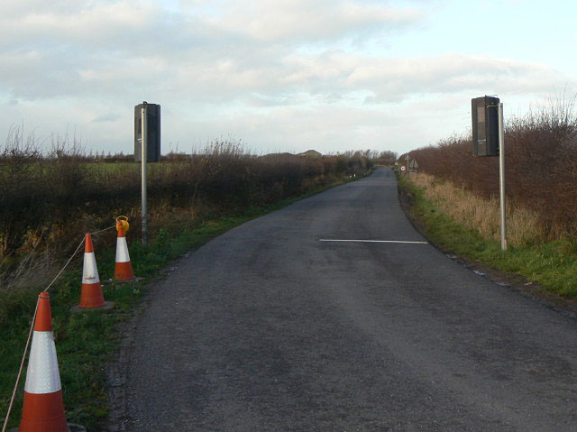
Image: © Alan Murray-Rust Taken: 6 Dec 2009
This section of the lane will replaced by a completely different alignment crossing the new A46 on an overbridge and joining the current A46 near High Thorpe.
Images are licensed for reuse under creativecommons.org/licenses/by-sa/2.0
Image Location
Latitude
52.937482
Longitude
-0.994726