Site of Blackhall Colliery
Introduction
The photograph on this page of Site of Blackhall Colliery by Andrew Curtis as part of the Geograph project.
The Geograph project started in 2005 with the aim of publishing, organising and preserving representative images for every square kilometre of Great Britain, Ireland and the Isle of Man.

There are currently over 7.5m images from over 14,400 individuals and you can help contribute to the project by visiting https://www.geograph.org.uk
Site of Blackhall Colliery
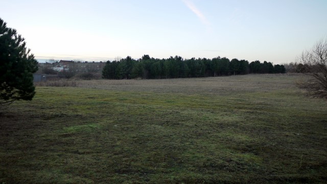
Image: © Andrew Curtis Taken: 4 Dec 2009
The main shaft was sunk in 1909 and the first coal produced in 1913. The geological conditions were difficult with water saturated strata and flooding. Blackhall became the final phase of the Durham Coalfield reaching out under the sea for approximately 3 miles and it was one of the most advanced collieries of the region. colliery from 1978 onwards. In 1981, Blackhall ceased production, 732 men were transferred to other collieries and 586 accepted redundancy. The colliery was finally closed and demolished in 1986. Much of the land was landscaped and converted into a business park. The topsoil is thin here on the layers of compacted waste and the planted trees have taken some time to become established. Research documents relating to the Durham Coalfield can be found here http://www.durham-miner.org.uk/miner/usp.nsf/pws/Durham+Miner+Project+-+Durham+Miner+Home+Page
Images are licensed for reuse under creativecommons.org/licenses/by-sa/2.0
Image Location
Latitude
54.747443
Longitude
-1.283963