Killearn Bridge
Introduction
The photograph on this page of Killearn Bridge by Chris Upson as part of the Geograph project.
The Geograph project started in 2005 with the aim of publishing, organising and preserving representative images for every square kilometre of Great Britain, Ireland and the Isle of Man.

There are currently over 7.5m images from over 14,400 individuals and you can help contribute to the project by visiting https://www.geograph.org.uk
Killearn Bridge
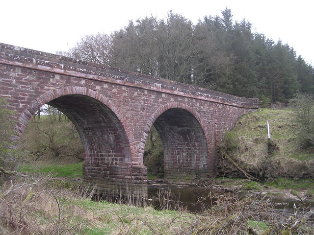
Image: © Chris Upson Taken: 30 Apr 2006
Magnificent sandstone bridge spanning the Endrick Water. This bridge is completely invisible from the A81 when you drive across it.
Images are licensed for reuse under creativecommons.org/licenses/by-sa/2.0
Image Location
Latitude
56.05702
Longitude
-4.397562