River Lea Navigation
Introduction
The photograph on this page of River Lea Navigation by Chris Hunt as part of the Geograph project.
The Geograph project started in 2005 with the aim of publishing, organising and preserving representative images for every square kilometre of Great Britain, Ireland and the Isle of Man.

There are currently over 7.5m images from over 14,400 individuals and you can help contribute to the project by visiting https://www.geograph.org.uk
River Lea Navigation
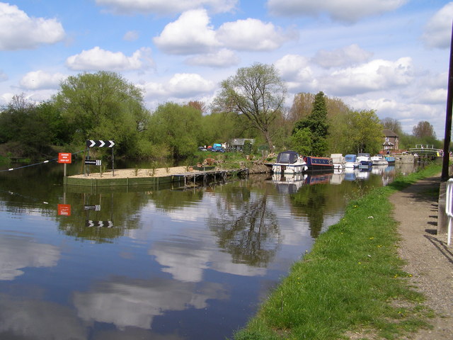
Image: © Chris Hunt Taken: 29 Apr 2006
Part of the Lea Valley Park. The river lea has been straightened in this section to allow barge traffic
Images are licensed for reuse under creativecommons.org/licenses/by-sa/2.0
Image Location


Leaflet Map data © OpenStreetMap
Latitude
51.742042
Longitude
-0.004101