Red-brick barn, Stoke Orchard
Introduction
The photograph on this page of Red-brick barn, Stoke Orchard by Philip Halling as part of the Geograph project.
The Geograph project started in 2005 with the aim of publishing, organising and preserving representative images for every square kilometre of Great Britain, Ireland and the Isle of Man.

There are currently over 7.5m images from over 14,400 individuals and you can help contribute to the project by visiting https://www.geograph.org.uk
Red-brick barn, Stoke Orchard
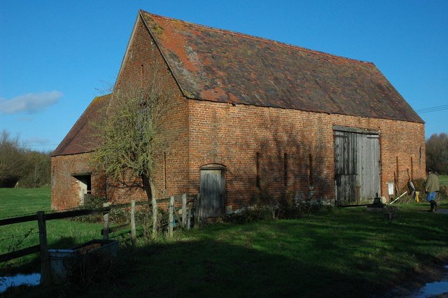
Image: © Philip Halling Taken: 6 Dec 2009
I always like to photograph these barns as so many are now being converted into dwellings. This one is beside a footpath in Stoke Orchard.
Images are licensed for reuse under creativecommons.org/licenses/by-sa/2.0
Image Location


Leaflet Map data © OpenStreetMap
Latitude
51.954215
Longitude
-2.11258