Gateway to Encombe
Introduction
The photograph on this page of Gateway to Encombe by John Lamper as part of the Geograph project.
The Geograph project started in 2005 with the aim of publishing, organising and preserving representative images for every square kilometre of Great Britain, Ireland and the Isle of Man.

There are currently over 7.5m images from over 14,400 individuals and you can help contribute to the project by visiting https://www.geograph.org.uk
Gateway to Encombe
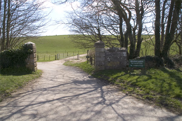
Image: © John Lamper Taken: 10 Apr 2006
The road continues through the gateway round to the left to Encombe House. The path up the hill takes you to Swyre Head. There is a convenient car park to the left of where the picture was taken. http://www.isleofpurbeck.com/encombe.html
Images are licensed for reuse under creativecommons.org/licenses/by-sa/2.0
Image Location
Latitude
50.613068
Longitude
-2.081611