Ox-Hey Drive
Introduction
The photograph on this page of Ox-Hey Drive by Jonathan Kington as part of the Geograph project.
The Geograph project started in 2005 with the aim of publishing, organising and preserving representative images for every square kilometre of Great Britain, Ireland and the Isle of Man.

There are currently over 7.5m images from over 14,400 individuals and you can help contribute to the project by visiting https://www.geograph.org.uk
Ox-Hey Drive
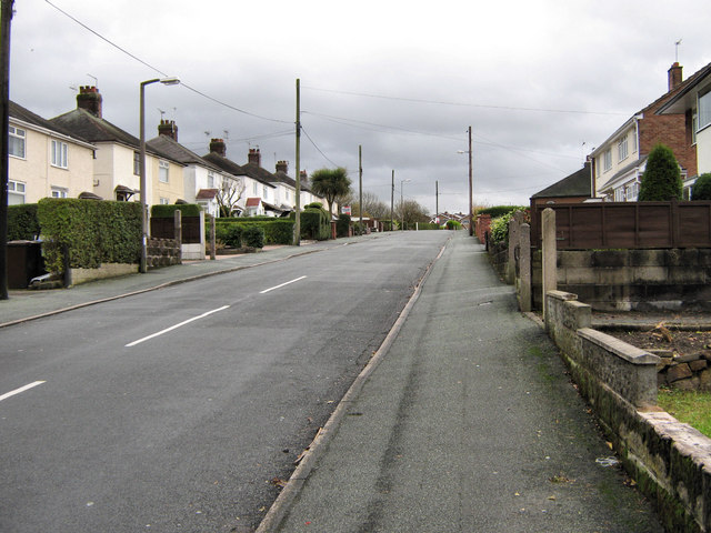
Image: © Jonathan Kington Taken: 25 Nov 2009
This is the view up Ox-Hey Drive from the junction with Smithy Lane (Image). On the edge of a newer estate this road is typical of what would have been social (or council) housing.
Images are licensed for reuse under creativecommons.org/licenses/by-sa/2.0
Image Location
Latitude
53.123285
Longitude
-2.166424