Ilfracombe station approaches, 1969
Introduction
The photograph on this page of Ilfracombe station approaches, 1969 by Robin Webster as part of the Geograph project.
The Geograph project started in 2005 with the aim of publishing, organising and preserving representative images for every square kilometre of Great Britain, Ireland and the Isle of Man.

There are currently over 7.5m images from over 14,400 individuals and you can help contribute to the project by visiting https://www.geograph.org.uk
Ilfracombe station approaches, 1969
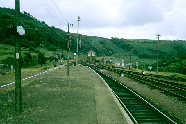
Image: © Robin Webster Taken: Unknown
The track from Barnstaple had been singled by 1969, but the layout at Ilfracombe seems fairly complete, although something has gone on the left. All is swept away and built on now. After a very interesting ride in a DMU over the severe gradients from Barnstaple.
Images are licensed for reuse under creativecommons.org/licenses/by-sa/2.0
Image Location
Latitude
51.197257
Longitude
-4.128323