Houses on Herbert Jennings Avenue
Introduction
The photograph on this page of Houses on Herbert Jennings Avenue by John Haynes as part of the Geograph project.
The Geograph project started in 2005 with the aim of publishing, organising and preserving representative images for every square kilometre of Great Britain, Ireland and the Isle of Man.

There are currently over 7.5m images from over 14,400 individuals and you can help contribute to the project by visiting https://www.geograph.org.uk
Houses on Herbert Jennings Avenue
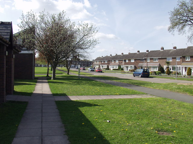
Image: © John Haynes Taken: 29 Apr 2006
Houses overlooking open space at Rhosnesni, Wrecsam. Herbert Jennings was a previous mayor ( in 1953 ) of Wrecsam. http://www.wrexham.gov.uk/english/council/mayoralty/mayoralty_list.htm
Images are licensed for reuse under creativecommons.org/licenses/by-sa/2.0
Image Location
Latitude
53.057631
Longitude
-2.977249