Hurdsfield flats, Macclesfield
Introduction
The photograph on this page of Hurdsfield flats, Macclesfield by Robin Stott as part of the Geograph project.
The Geograph project started in 2005 with the aim of publishing, organising and preserving representative images for every square kilometre of Great Britain, Ireland and the Isle of Man.

There are currently over 7.5m images from over 14,400 individuals and you can help contribute to the project by visiting https://www.geograph.org.uk
Hurdsfield flats, Macclesfield
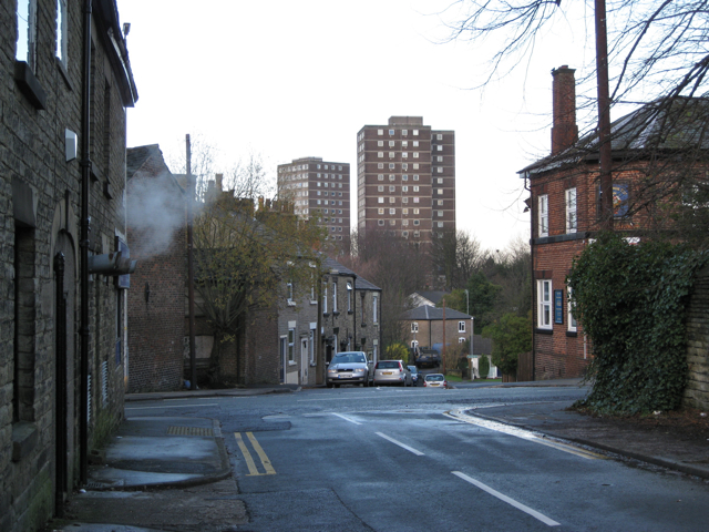
Image: © Robin Stott Taken: 4 Dec 2009
Looking from Trinity Square across Hurdsfield Road and down Masons Lane. The steam is from the laundrette on the corner. The building on the right is the Flower Pot Inn Image One block of flats appears in Image and other photos.
Images are licensed for reuse under creativecommons.org/licenses/by-sa/2.0
Image Location
Latitude
53.266538
Longitude
-2.115405