Hurdsfield Road and bus stop, Macclesfield
Introduction
The photograph on this page of Hurdsfield Road and bus stop, Macclesfield by Robin Stott as part of the Geograph project.
The Geograph project started in 2005 with the aim of publishing, organising and preserving representative images for every square kilometre of Great Britain, Ireland and the Isle of Man.

There are currently over 7.5m images from over 14,400 individuals and you can help contribute to the project by visiting https://www.geograph.org.uk
Hurdsfield Road and bus stop, Macclesfield
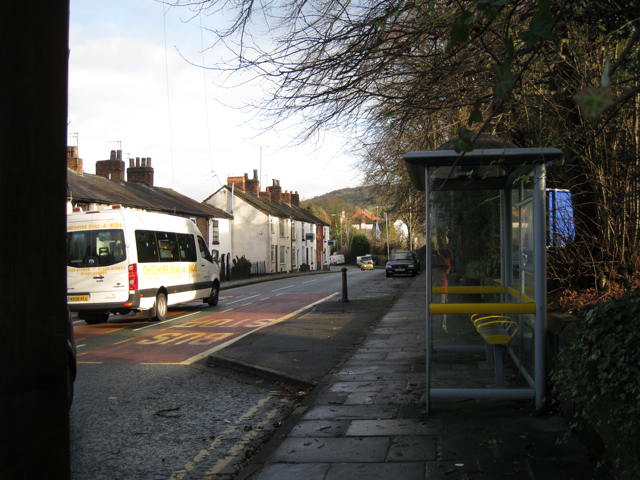
Image: © Robin Stott Taken: 4 Dec 2009
Facing away from the town, at the junction with Trinity Square and Masons Lane. Macclesfield's position below the eastern edge of the Peak District provides a constantly changing backdrop of hills.
Images are licensed for reuse under creativecommons.org/licenses/by-sa/2.0
Image Location
Latitude
53.264743
Longitude
-2.112402