Towards Heulfryn
Introduction
The photograph on this page of Towards Heulfryn by Graham Horn as part of the Geograph project.
The Geograph project started in 2005 with the aim of publishing, organising and preserving representative images for every square kilometre of Great Britain, Ireland and the Isle of Man.

There are currently over 7.5m images from over 14,400 individuals and you can help contribute to the project by visiting https://www.geograph.org.uk
Towards Heulfryn
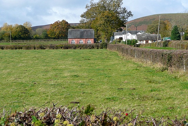
Image: © Graham Horn Taken: 25 Oct 2009
Across the sheep pastures towards the chapel at Heulfryn. A Roman road passed through this area, but there is no evidence on the ground.
Images are licensed for reuse under creativecommons.org/licenses/by-sa/2.0
Image Location
Latitude
52.547178
Longitude
-3.406816