Fields at Pontprenllwyd
Introduction
The photograph on this page of Fields at Pontprenllwyd by Graham Horn as part of the Geograph project.
The Geograph project started in 2005 with the aim of publishing, organising and preserving representative images for every square kilometre of Great Britain, Ireland and the Isle of Man.

There are currently over 7.5m images from over 14,400 individuals and you can help contribute to the project by visiting https://www.geograph.org.uk
Fields at Pontprenllwyd
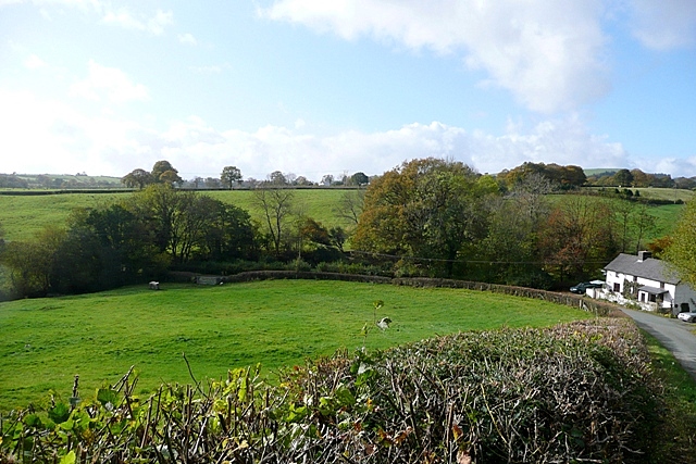
Image: © Graham Horn Taken: 25 Oct 2009
A steep lane drops to Pont Llwyd (in the trees by the gate) and the farm house with the similar name is on the bend just before it.
Images are licensed for reuse under creativecommons.org/licenses/by-sa/2.0
Image Location
Latitude
52.550838
Longitude
-3.401476