Fields by Layer Brook
Introduction
The photograph on this page of Fields by Layer Brook by Andrew Hill as part of the Geograph project.
The Geograph project started in 2005 with the aim of publishing, organising and preserving representative images for every square kilometre of Great Britain, Ireland and the Isle of Man.

There are currently over 7.5m images from over 14,400 individuals and you can help contribute to the project by visiting https://www.geograph.org.uk
Fields by Layer Brook
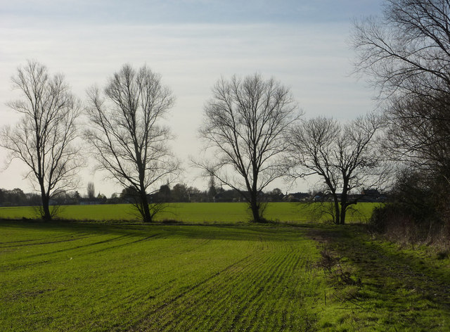
Image: © Andrew Hill Taken: 5 Dec 2009
Towards a footpath junction at the line of trees. Tolleshunt Knights in the background.
Images are licensed for reuse under creativecommons.org/licenses/by-sa/2.0
Image Location
Latitude
51.805821
Longitude
0.770891