Montague Street, Hartlepool Headland
Introduction
The photograph on this page of Montague Street, Hartlepool Headland by Andrew Curtis as part of the Geograph project.
The Geograph project started in 2005 with the aim of publishing, organising and preserving representative images for every square kilometre of Great Britain, Ireland and the Isle of Man.

There are currently over 7.5m images from over 14,400 individuals and you can help contribute to the project by visiting https://www.geograph.org.uk
Montague Street, Hartlepool Headland
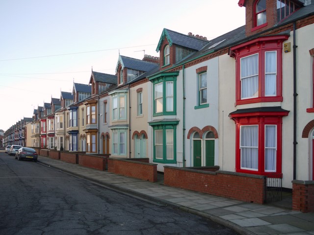
Image: © Andrew Curtis Taken: 4 Dec 2009
Attractive and well cared for houses close to the Town Moor and the sea promenade. See also Image
Images are licensed for reuse under creativecommons.org/licenses/by-sa/2.0
Image Location
Latitude
54.700439
Longitude
-1.183929