The Craven Arms
Introduction
The photograph on this page of The Craven Arms by Peter McDermott as part of the Geograph project.
The Geograph project started in 2005 with the aim of publishing, organising and preserving representative images for every square kilometre of Great Britain, Ireland and the Isle of Man.

There are currently over 7.5m images from over 14,400 individuals and you can help contribute to the project by visiting https://www.geograph.org.uk
The Craven Arms
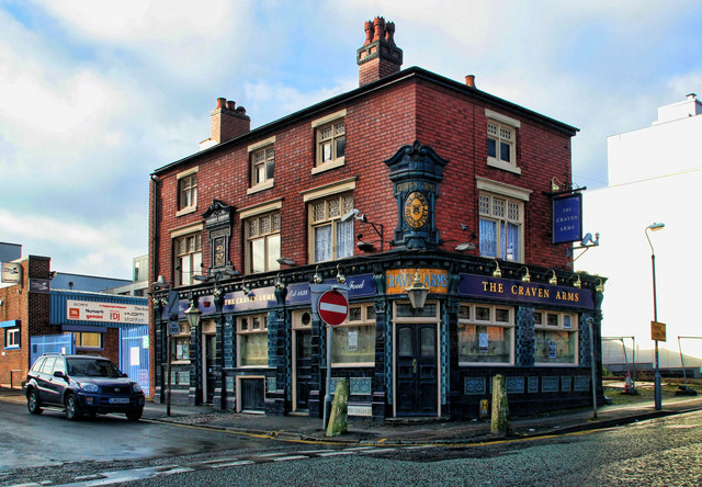
Image: © Peter McDermott Taken: 5 Dec 2009
The Craven Arms at the corner of Upper Gough Street and Blucher Street.
Images are licensed for reuse under creativecommons.org/licenses/by-sa/2.0
Image Location
Latitude
52.475042
Longitude
-1.903819