Lea Lane at Netherton Bank Bottom, South Crosland
Introduction
The photograph on this page of Lea Lane at Netherton Bank Bottom, South Crosland by Humphrey Bolton as part of the Geograph project.
The Geograph project started in 2005 with the aim of publishing, organising and preserving representative images for every square kilometre of Great Britain, Ireland and the Isle of Man.

There are currently over 7.5m images from over 14,400 individuals and you can help contribute to the project by visiting https://www.geograph.org.uk
Lea Lane at Netherton Bank Bottom, South Crosland
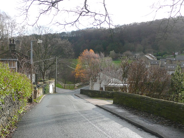
Image: © Humphrey Bolton Taken: 3 Dec 2009
Netherton Bank is the name of the steep hillside on the left. The houses on the right are modern ones that are part of the redevelopment of Cocking Steps Mill.
Images are licensed for reuse under creativecommons.org/licenses/by-sa/2.0
Image Location
Latitude
53.608011
Longitude
-1.812554