Fountain Street, Macclesfield
Introduction
The photograph on this page of Fountain Street, Macclesfield by Robin Stott as part of the Geograph project.
The Geograph project started in 2005 with the aim of publishing, organising and preserving representative images for every square kilometre of Great Britain, Ireland and the Isle of Man.

There are currently over 7.5m images from over 14,400 individuals and you can help contribute to the project by visiting https://www.geograph.org.uk
Fountain Street, Macclesfield
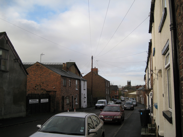
Image: © Robin Stott Taken: 4 Dec 2009
Looking towards the hilltop town centre and St Michael's parish church Image This is an area where terraced housing rubs along with factories and assorted business premises. This may be the age of the Zone but not everywhere conforms. We need a category like 'Mixed development' or 'Diverse neighbourhood'.
Images are licensed for reuse under creativecommons.org/licenses/by-sa/2.0
Image Location
Latitude
53.258444
Longitude
-2.119881