Windsor Drive shops
Introduction
The photograph on this page of Windsor Drive shops by Ian Capper as part of the Geograph project.
The Geograph project started in 2005 with the aim of publishing, organising and preserving representative images for every square kilometre of Great Britain, Ireland and the Isle of Man.

There are currently over 7.5m images from over 14,400 individuals and you can help contribute to the project by visiting https://www.geograph.org.uk
Windsor Drive shops
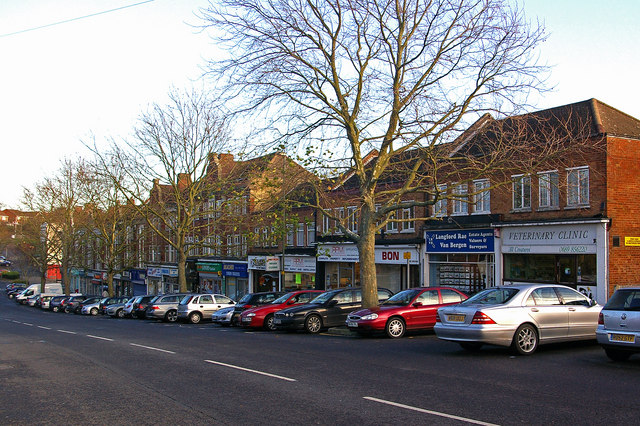
Image: © Ian Capper Taken: 4 Dec 2009
Maps suggest that the original shops here, which line the south side of Windsor Drive nears its junction with Warren Road, date from immediately post the Second World War. Subsequent information received from a 1950s resident of the area, Robert Burrell, confirms that this was the case, built as part of the neighbouring council estate. The near group would appear more recent.
Images are licensed for reuse under creativecommons.org/licenses/by-sa/2.0
Image Location
Latitude
51.356327
Longitude
0.105023