The Whitefriars
Introduction
The photograph on this page of The Whitefriars by Bill Boaden as part of the Geograph project.
The Geograph project started in 2005 with the aim of publishing, organising and preserving representative images for every square kilometre of Great Britain, Ireland and the Isle of Man.

There are currently over 7.5m images from over 14,400 individuals and you can help contribute to the project by visiting https://www.geograph.org.uk
The Whitefriars
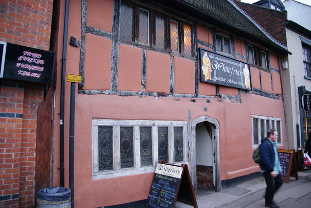
Image: © Bill Boaden Taken: 4 Dec 2009
It describes itself as an old alehouse, and it certainly looks old.
Images are licensed for reuse under creativecommons.org/licenses/by-sa/2.0
Image Location
Latitude
52.406347
Longitude
-1.503991