Drinkwater Gardens, Gaer, Newport
Introduction
The photograph on this page of Drinkwater Gardens, Gaer, Newport by Jaggery as part of the Geograph project.
The Geograph project started in 2005 with the aim of publishing, organising and preserving representative images for every square kilometre of Great Britain, Ireland and the Isle of Man.

There are currently over 7.5m images from over 14,400 individuals and you can help contribute to the project by visiting https://www.geograph.org.uk
Drinkwater Gardens, Gaer, Newport
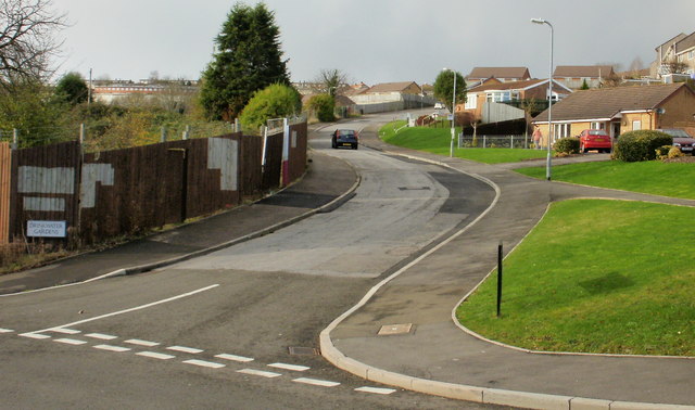
Image: © Jaggery Taken: 3 Dec 2009
Drinkwater Gardens climbs away from Masefield Vale towards Gaer Road. For more than 50 years, until the early 21st century, dwellings along Drinkwater Gardens were prefabs (prefabricated bungalows). A total of 750 prefabs were erected in various parts of Newport to meet a severe housing shortage after the Second World War. The fencing on the left of the photo encloses a currently derelict area formerly occupied by prefabs. Elsewhere, modern bungalows have replaced the prefabs.
Images are licensed for reuse under creativecommons.org/licenses/by-sa/2.0
Image Location
Latitude
51.573852
Longitude
-3.017243