Driveway to Donnington Manor
Introduction
The photograph on this page of Driveway to Donnington Manor by Michael Dibb as part of the Geograph project.
The Geograph project started in 2005 with the aim of publishing, organising and preserving representative images for every square kilometre of Great Britain, Ireland and the Isle of Man.

There are currently over 7.5m images from over 14,400 individuals and you can help contribute to the project by visiting https://www.geograph.org.uk
Driveway to Donnington Manor
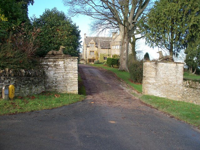
Image: © Michael Dibb Taken: 27 Nov 2009
The Monarch's Way long distance path has followed the minor road to Donnington from Broadwell. Just before the entrance shown here, the Monarch's Way becomes a bridleway, and turns sharply right to skirt the manor.
Images are licensed for reuse under creativecommons.org/licenses/by-sa/2.0
Image Location
Latitude
51.952679
Longitude
-1.720433