Saint Lawrence's recreation ground
Introduction
The photograph on this page of Saint Lawrence's recreation ground by Jonathan Kington as part of the Geograph project.
The Geograph project started in 2005 with the aim of publishing, organising and preserving representative images for every square kilometre of Great Britain, Ireland and the Isle of Man.

There are currently over 7.5m images from over 14,400 individuals and you can help contribute to the project by visiting https://www.geograph.org.uk
Saint Lawrence's recreation ground
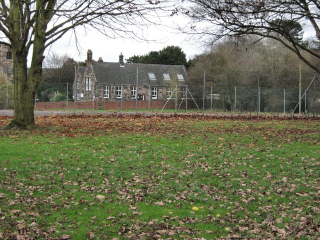
Image: © Jonathan Kington Taken: 25 Nov 2009
These are the tennis courts on the recreation grounds attached to Saint Lawrence's Church. The building behind used to be Biddulph North School and now houses the Church Hall.
Images are licensed for reuse under creativecommons.org/licenses/by-sa/2.0
Image Location
Latitude
53.12625
Longitude
-2.167333