Start of the bridleway
Introduction
The photograph on this page of Start of the bridleway by Michael Dibb as part of the Geograph project.
The Geograph project started in 2005 with the aim of publishing, organising and preserving representative images for every square kilometre of Great Britain, Ireland and the Isle of Man.

There are currently over 7.5m images from over 14,400 individuals and you can help contribute to the project by visiting https://www.geograph.org.uk
Start of the bridleway
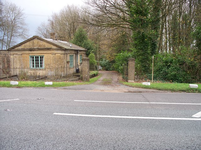
Image: © Michael Dibb Taken: 26 Nov 2009
This view is from the opposite side of the A44 very near to its junction with the A424. The bridleway leads down the driveway to Blockley. The house is named on the map as Trooper's Cottage but there is a nameplate on the gate of Trooper's Lodge.
Images are licensed for reuse under creativecommons.org/licenses/by-sa/2.0
Image Location
Latitude
51.997765
Longitude
-1.783367