Stone signage for Nenthead mines
Introduction
The photograph on this page of Stone signage for Nenthead mines by Philip Barker as part of the Geograph project.
The Geograph project started in 2005 with the aim of publishing, organising and preserving representative images for every square kilometre of Great Britain, Ireland and the Isle of Man.

There are currently over 7.5m images from over 14,400 individuals and you can help contribute to the project by visiting https://www.geograph.org.uk
Stone signage for Nenthead mines
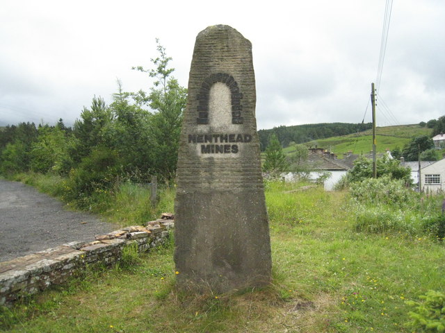
Image: © Philip Barker Taken: 12 Jul 2009
The site occupied by Nenthead mines is a national heritage centre and mining museum. Further details of this area and its fascinating history can be found here (http://www.visitcumbria.com/pen/nenthd.htm ) and here (http://www.npht.com/nentheadmines/ ).
Images are licensed for reuse under creativecommons.org/licenses/by-sa/2.0
Image Location
Latitude
54.786993
Longitude
-2.342535