Field edge path
Introduction
The photograph on this page of Field edge path by Michael Dibb as part of the Geograph project.
The Geograph project started in 2005 with the aim of publishing, organising and preserving representative images for every square kilometre of Great Britain, Ireland and the Isle of Man.

There are currently over 7.5m images from over 14,400 individuals and you can help contribute to the project by visiting https://www.geograph.org.uk
Field edge path
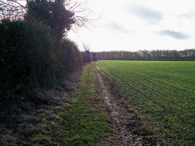
Image: © Michael Dibb Taken: 26 Nov 2009
The footpath has a junction with a bridleway just north of Upton Wold Farm. This is a view of the bridleway as it heads south towards the A44. The line of the road is marked by the line of trees in the distance.
Images are licensed for reuse under creativecommons.org/licenses/by-sa/2.0
Image Location
Latitude
52.010903
Longitude
-1.78986