Whitestone
Introduction
The photograph on this page of Whitestone by Derek Harper as part of the Geograph project.
The Geograph project started in 2005 with the aim of publishing, organising and preserving representative images for every square kilometre of Great Britain, Ireland and the Isle of Man.

There are currently over 7.5m images from over 14,400 individuals and you can help contribute to the project by visiting https://www.geograph.org.uk
Whitestone
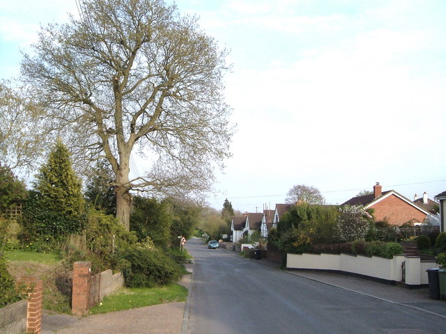
Image: © Derek Harper Taken: 28 Apr 2006
The population centre of the village has shifted from the north side of the Nadder Brook valley (and where the church http://www.geograph.org.uk/photo/160277 is) to the south, where modern buildings line a ridge road leading to Exeter.
Images are licensed for reuse under creativecommons.org/licenses/by-sa/2.0
Image Location
Latitude
50.730054
Longitude
-3.605305