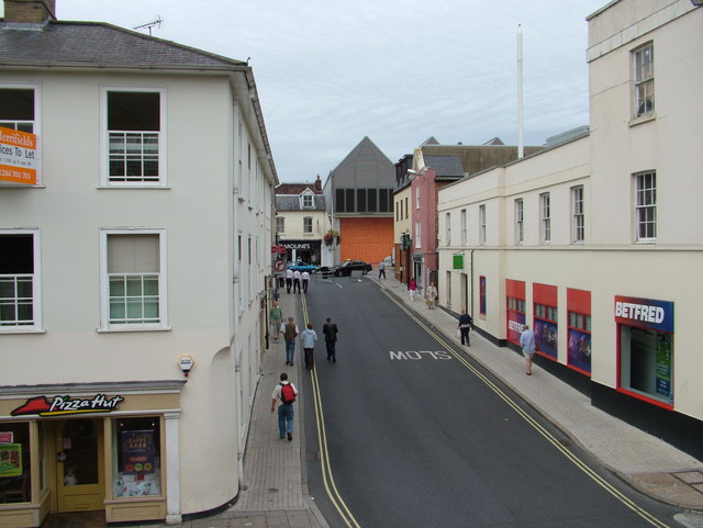
Woolhall Street from Corn Exchange
Introduction
The photograph on this page of Woolhall Street from Corn Exchange by John Goldsmith as part of the Geograph project.
The Geograph project started in 2005 with the aim of publishing, organising and preserving representative images for every square kilometre of Great Britain, Ireland and the Isle of Man.
There are currently over 7.5m images from over 14,400 individuals and you can help contribute to the project by visiting https://www.geograph.org.uk

Image: © John Goldsmith Taken: 9 Sep 2009
In the 1960s the Corn Exchange building was preserved by inserting a mezzanine floor for a public meeting and performance space upstairs, and shops below. This view from a window shows Woolhall Street, probably Bury's shortest, ending at the sharp roofed battleship grey of part of the arc development. Caaroline's dress shop has closed since this photo, having lasted only a few months. The BetFred premises used to be the Job Centre.

