Wandle Trail
Introduction
The photograph on this page of Wandle Trail by Derek Harper as part of the Geograph project.
The Geograph project started in 2005 with the aim of publishing, organising and preserving representative images for every square kilometre of Great Britain, Ireland and the Isle of Man.

There are currently over 7.5m images from over 14,400 individuals and you can help contribute to the project by visiting https://www.geograph.org.uk
Wandle Trail
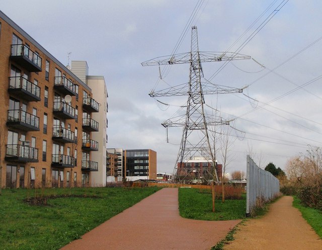
Image: © Derek Harper Taken: 30 Nov 2009
The Trail passes the site of Wimbledon FC's ground on the left. This was the club's home from 1912 to 1991. The block of flats on the left (one of six built on the Reynolds Gate site; see also Image) is Stannard House, named after Harry Stannard, a star in the Isthmian League days. http://wapedia.mobi/en/Plough_Lane
Images are licensed for reuse under creativecommons.org/licenses/by-sa/2.0
Image Location
Latitude
51.428857
Longitude
-0.188392