Larbert Main Street
Introduction
The photograph on this page of Larbert Main Street by Kevin Rae as part of the Geograph project.
The Geograph project started in 2005 with the aim of publishing, organising and preserving representative images for every square kilometre of Great Britain, Ireland and the Isle of Man.

There are currently over 7.5m images from over 14,400 individuals and you can help contribute to the project by visiting https://www.geograph.org.uk
Larbert Main Street
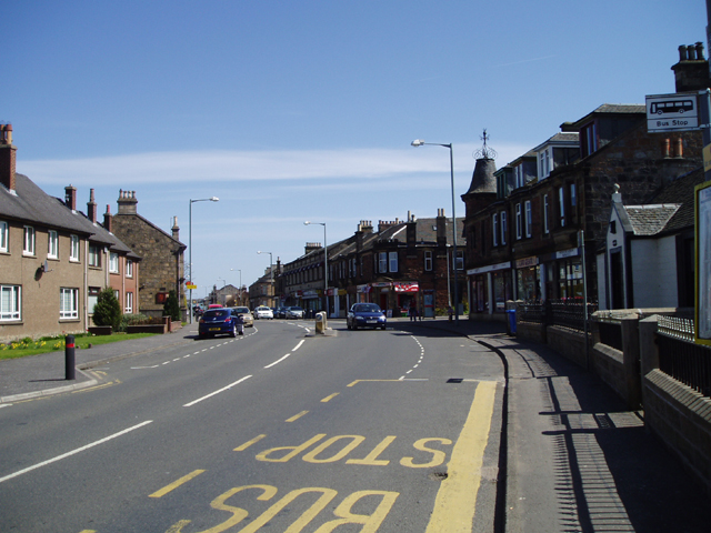
Image: © Kevin Rae Taken: 29 Apr 2006
This town near Falkirk developed in the 19th Century due to local Foundries and the Railways and is a popular and quite pleasant commuter town.
Images are licensed for reuse under creativecommons.org/licenses/by-sa/2.0
Image Location
Latitude
56.019961
Longitude
-3.83366