Antenna and cricket pavilion
Introduction
The photograph on this page of Antenna and cricket pavilion by Rob Hinkley as part of the Geograph project.
The Geograph project started in 2005 with the aim of publishing, organising and preserving representative images for every square kilometre of Great Britain, Ireland and the Isle of Man.

There are currently over 7.5m images from over 14,400 individuals and you can help contribute to the project by visiting https://www.geograph.org.uk
Antenna and cricket pavilion
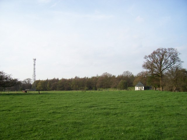
Image: © Rob Hinkley Taken: 22 Apr 2006
Just West of The Hoo, the radio mast at TL186197 on the left and the small building at TL187196 - a little cricket pavilion - on the right. Cattle pasture underfoot.
Images are licensed for reuse under creativecommons.org/licenses/by-sa/2.0
Image Location
Latitude
51.86151
Longitude
-0.280567