Wandle Trail
Introduction
The photograph on this page of Wandle Trail by Derek Harper as part of the Geograph project.
The Geograph project started in 2005 with the aim of publishing, organising and preserving representative images for every square kilometre of Great Britain, Ireland and the Isle of Man.

There are currently over 7.5m images from over 14,400 individuals and you can help contribute to the project by visiting https://www.geograph.org.uk
Wandle Trail
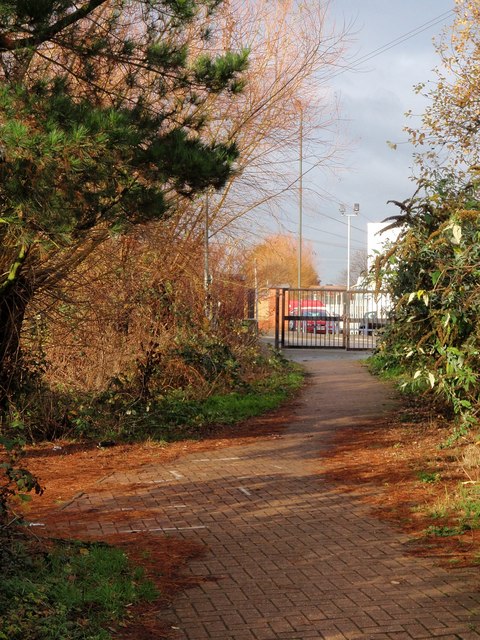
Image: © Derek Harper Taken: 30 Nov 2009
As with Image, some 200 metres further upstream, the riverside trail is bordered by reddish pin needles. It is about to reach Plough Lane.
Images are licensed for reuse under creativecommons.org/licenses/by-sa/2.0
Image Location
Latitude
51.428302
Longitude
-0.187407