Going Underground
Introduction
The photograph on this page of Going Underground by edward mcmaihin as part of the Geograph project.
The Geograph project started in 2005 with the aim of publishing, organising and preserving representative images for every square kilometre of Great Britain, Ireland and the Isle of Man.

There are currently over 7.5m images from over 14,400 individuals and you can help contribute to the project by visiting https://www.geograph.org.uk
Going Underground
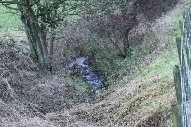
Image: © edward mcmaihin Taken: 28 Nov 2009
Stream going below ground and underneath the road before discharging into the River Leven.
Images are licensed for reuse under creativecommons.org/licenses/by-sa/2.0
Image Location
Latitude
56.179783
Longitude
-3.331856