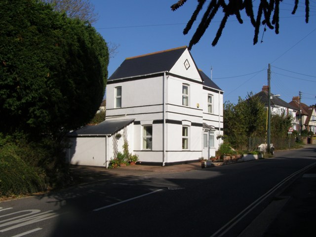
Stoke Lyne Cottage
Introduction
The photograph on this page of Stoke Lyne Cottage by Kate Burhouse as part of the Geograph project.
The Geograph project started in 2005 with the aim of publishing, organising and preserving representative images for every square kilometre of Great Britain, Ireland and the Isle of Man.
There are currently over 7.5m images from over 14,400 individuals and you can help contribute to the project by visiting https://www.geograph.org.uk

Image: © Kate Burhouse Taken: 30 Nov 2009
This cottage was one of the few buildings in St Johns Road when the 1:2500 map was surveyed in 1889. It may be the same cottage shown on the 1840 tithe map, occupied by Thomas PRIDDIS. By 1952 the house is labelled 'Blue Haze' and now it is simply known as 25, St Johns Road. The path beside the cottage was originally the southern end of the lane leading up to Brixington, now Brixington Lane. When Forton Road was built in the 1930s this part of the lane was made into a footpath.

