Path and railway track, Tooting
Introduction
The photograph on this page of Path and railway track, Tooting by Derek Harper as part of the Geograph project.
The Geograph project started in 2005 with the aim of publishing, organising and preserving representative images for every square kilometre of Great Britain, Ireland and the Isle of Man.

There are currently over 7.5m images from over 14,400 individuals and you can help contribute to the project by visiting https://www.geograph.org.uk
Path and railway track, Tooting
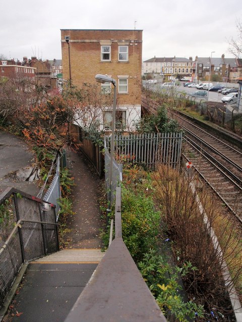
Image: © Derek Harper Taken: 30 Nov 2009
Taken from a footbridge across the railway line about 200 metres west of Tooting Station. Behind the car park are buildings on London Road, the A217. The footpath joins Longley Road. The three-storey block of flats replaced an old railway building on the site.
Images are licensed for reuse under creativecommons.org/licenses/by-sa/2.0
Image Location
Latitude
51.419928
Longitude
-0.163576